


Gifting has never been easier
Perfect if you're short on time or are unable to deliver your gift yourself. Enter your message and select when to send it.
 Shipping
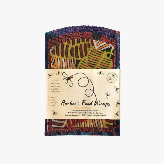
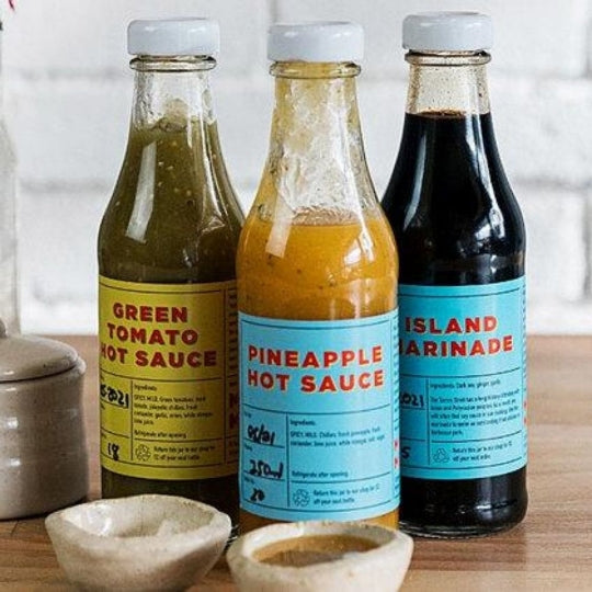
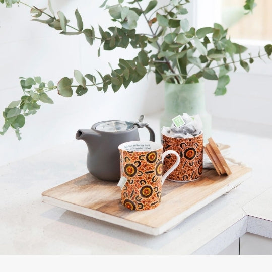
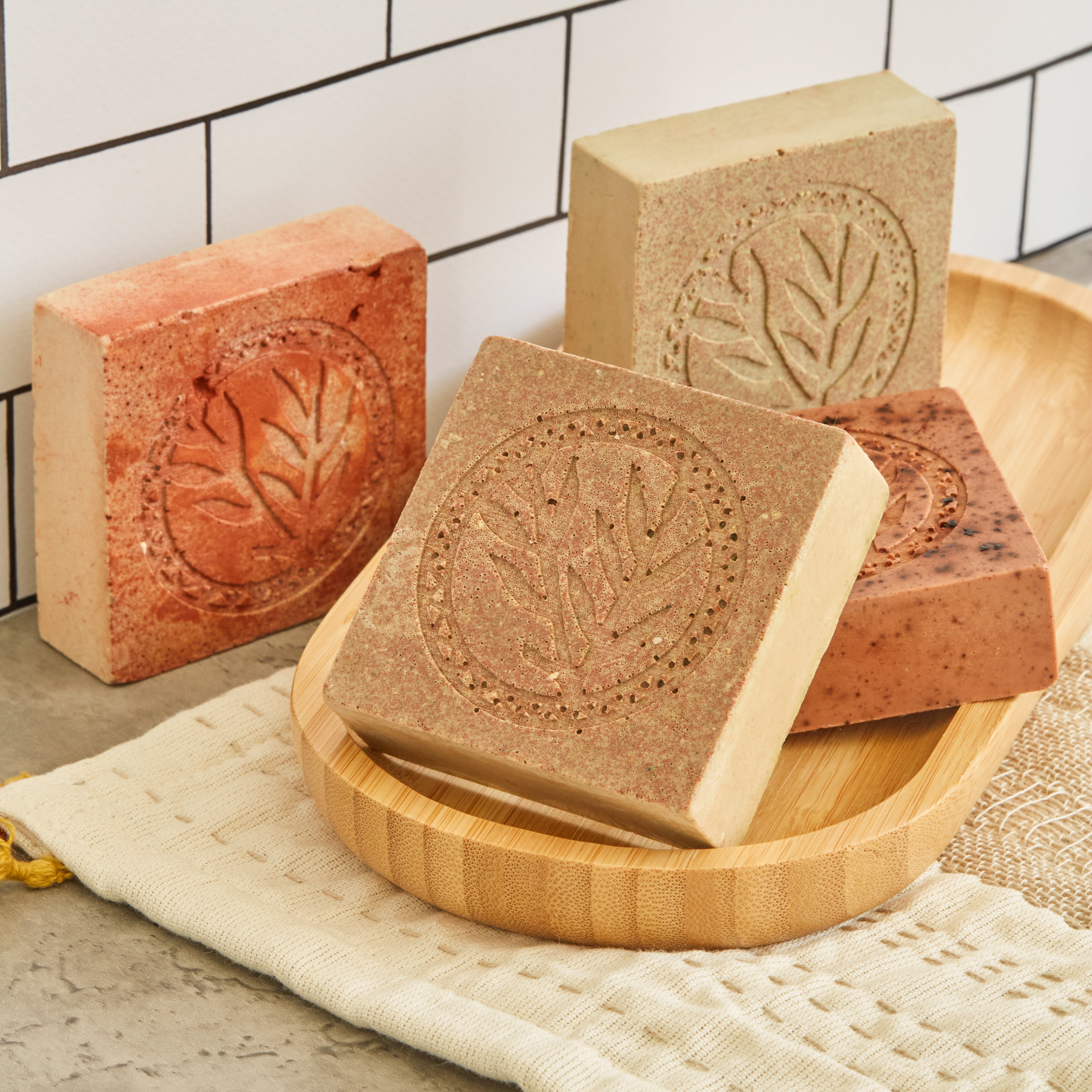
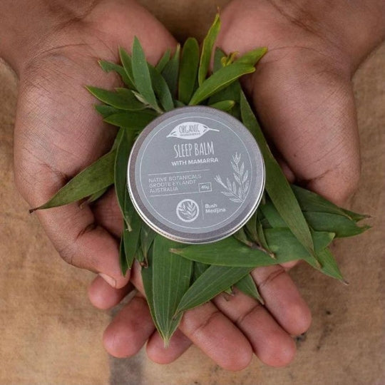
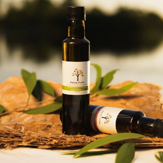
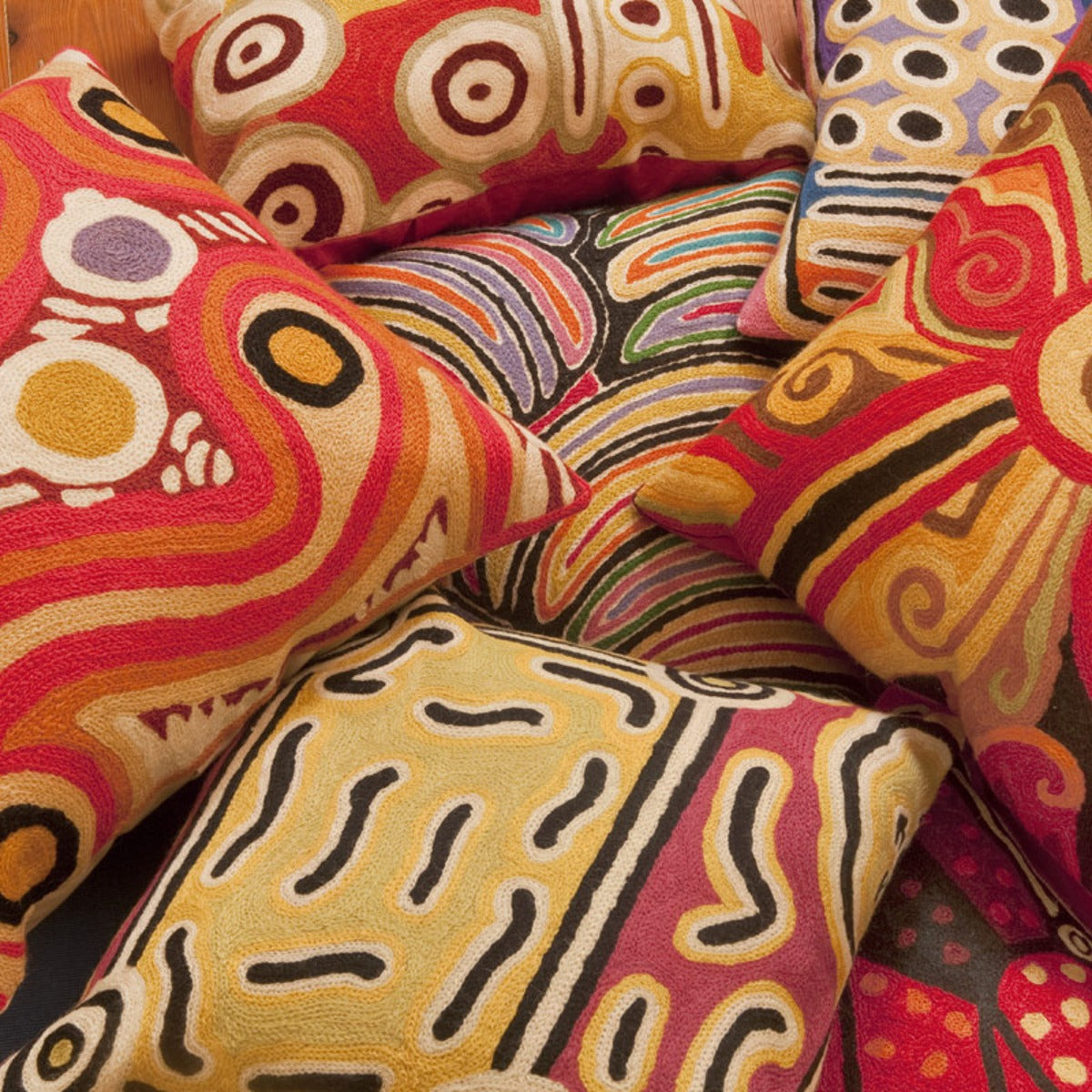
 Ethically Sourced Products

Your Impact:Your purchase contributes to employment, economic and wellbeing outcomes.
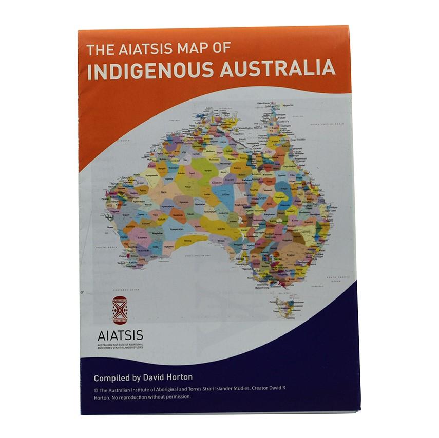
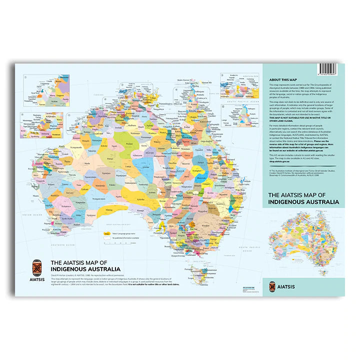
The AIATSIS map of Indigenous Australia outlines the different language, tribal or nation groups of the Aboriginal and Torres Strait peoples of Australia. For thousands of years Aboriginal and Torres Strait Islander peoples occupied the lands with very different boundaries than today, centred on intimate cultural relationships with the land and sea. This map represents those boundaries often defined by the cultural, language and trade boundaries and relationships between groups.
* Orders are typically processed and dispatched within 3 -5 days (excluding weekends and public holidays)
* We offer a variety of domestic shipping options with Australia Post:
Parcel Post - $16.95
Parcel Post - $36.95 on orders $400 and over
Express Post - $21.95 on orders up to $400
Express Post - $52.95 on orders $400 and over
Please note for delivery times please refer to Australia Post.*
For the most up-to-date information on your order delivery please download the AusPost App here.
*Please note Express Post does not mean Priority Shipping. We do not offer Priority Shipping. If you select Express Postage orders will be dispatch in the quoted time frames. For delivery times please refer to Australia Post.
*Heavy and oversize items are charge at a seperate shipping rate of $34.95 per item.
* All items shipped with tracking
* For orders officially deemed 'lost' by Australia Post customers will be offered a store credit, refund or replacement for the value of the order..
*Welcome to Country takes no responsibility for items lost in transit
* For the most current Australia Post delivery times, please check their website for updates.
* For Custom Orders (large volume/corporate), please contact us for a custom shipping quote
* We do not accept returns for change of mind. Returns are only accepted if the product is damaged or faulty. At our discretion we may offer an exchange.
* All sale items are final, no exchange, return or refund.
* Welcome to Country is a not-for-profit marketplace
* Your purchase benefits Aboriginal and Torres Strait Islander artists and communities
* Fair licensing agreements and fair royalties paid
* Helping to keep the world’s oldest living culture strong
Reviews
Explore collections